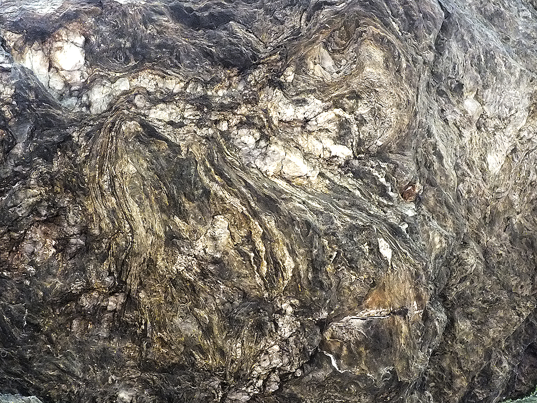
The slate mountains of Waldsassen (“Waldsassener Schiefergebirge”) stretch across the border and cover an area of 500 square kilometers. From a geological point of view, it is divided into two different areas along a line between the villages of Leonberg and Dolni Zandov (CZ, “Unter-Sandau” in German). The younger area from the Ordovician (485 – 443 Ma B. P.) lies northwest of it and is limited by a parallel between the towns of Arzberg (Germany) and Cheb (CZ, “Eger”). The older rocks from the Cambrian (541-490 Ma B.P.) cover the area southeast of it and stretch to another parallel between the villages of Wondreb (Germany) und Stará Voda (CZ, “Altwasser”).
Alternating strata with quartzite and inclusions of gold can only be found in the Cambrian area. They were formed during a mountain building process. This circumstance brought Bad Neualbenreuth modest prosperity in the Middle Ages, because then, both mining for mountain gold and the search for wash gold took place here. Mining was particularly successful on the properties of the Eger estate Ottengrün. As a result of these mining activities, the hammer castle Ernestgrün could be built in the village Rothmühle.
Until far into the 20th century, ever new attempts were made to find quartz veins with the sought after precious metal. This is also evidenced by a nearby collapse shaft which, abandoned, has turned into a biotope.


