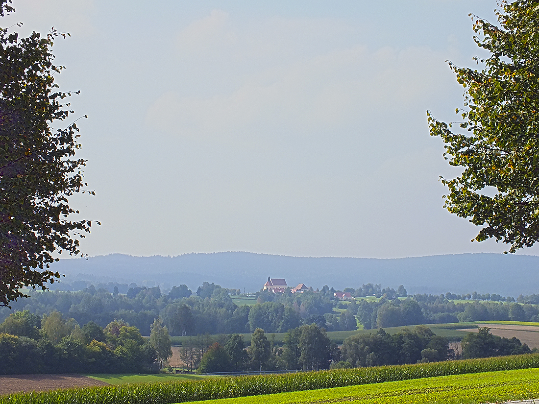
The “Birkenberg” (744 m) is the 1168th-highest mountain in Bavaria and the 1658th-,highest mountain in Germany. In the administrative area of Bad Neualbenreuth the “Birkenberg” is the third-highest mountain after the “Muglberg” and the “Grünhau”.
Originally, the name of the whole mountain range, together with the “Heidelberg”, was called “Hedelberg”. The name goes back to the times when Bad Neualbenreuth was an active mining area (until the end of the 17th century). After that time the name was changed to “Birkenberg” (birch mountain).
This name also goes back to a former form of usage, the field-forest crop rotation, which was widespread in the low mountain ranges. Within 15 to 40 years the whole stock of birch wood was cleared, afterwards the area was used as pasture for two years on average before the stock of the fast growing birch renewed itself out of the stumps. In many regions those cleared areas were used for agriculture, which virtually can be ruled out here due to the rocky underground.
Since the mountain and forest already belonged to the town of Eger at that time, it seems reasonable to suppose that the citizens of Eger had various rights concerning timber, whereas the grazing rights lay by the farms of the villages “Ottengrün” and “Ernestgrün”, which also belonged to Eger until 1862. Because of the exhaustion of the underground and imminent erosion this form of forest usage was stopped in the 19th century. From then on forests were converted into coniferous forests for timber.


