
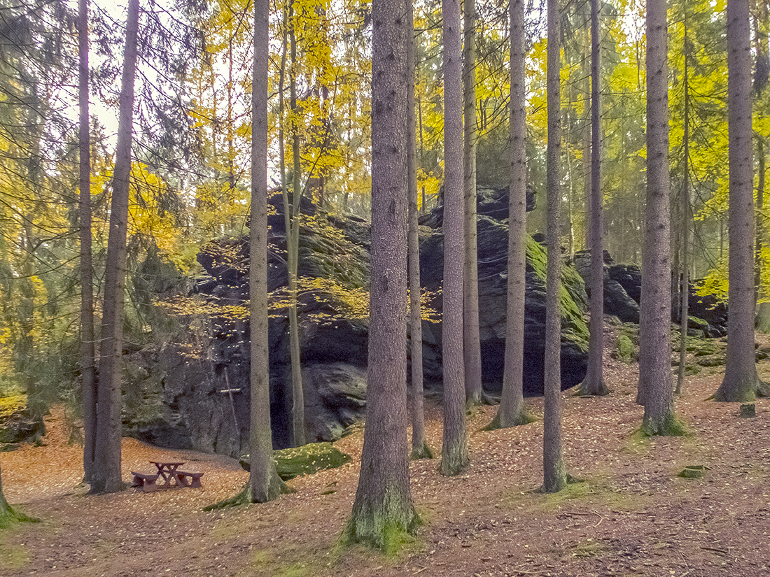
The “Ringelfelsen” (also “Rinnlstein” or “Ringelstein”), 653 meters above sea level, is the biggest rock formation in the local area and is part of the “Waldsassener Schiefergebirge” (slate mountains of Waldsassen). This Phyllites (metamorphic slates) were formed during the geological era of the Cambrian around 541 to 485,4 million years ago. In the east, they reach to the village “Stará Voda” (CZ), in the south to the village “Wondreb” and in the extreme northwest to the “Gesteinigt”, the gorge of the river “Röslau” in the Fichtel Mountains.
Quartz veins in the rock were responsible for the regional, modest gold finds in form of wash and mountain gold. There are traces of old mining on the nearby summit of the “Heidelberg” mountain and on the “Pointmühlbach” stream at its foot.
The “Ringelfelsen” (or “Rinnlstein”) owes its name to the “Rinnlbrunnen”, a nearby spring and southwest boundary mark of the historical “Fraisch” region. The term “Rinnl” derives from the Old High German (“Rinne”, “Rain”) and describes the terrain of and the boundary line around the spring.
As the place is a popular hiking destination and picnic area, the first wooden hut was built here in 1947. It was taken over by the nature lovers’ club “Naturfreunde Waldsassen”. After a fire it was replaced by a brick hut. The wooden crucifix was mounted on the overhanging rock, because church and prayer services are occasionally held there. and devotion taken place.